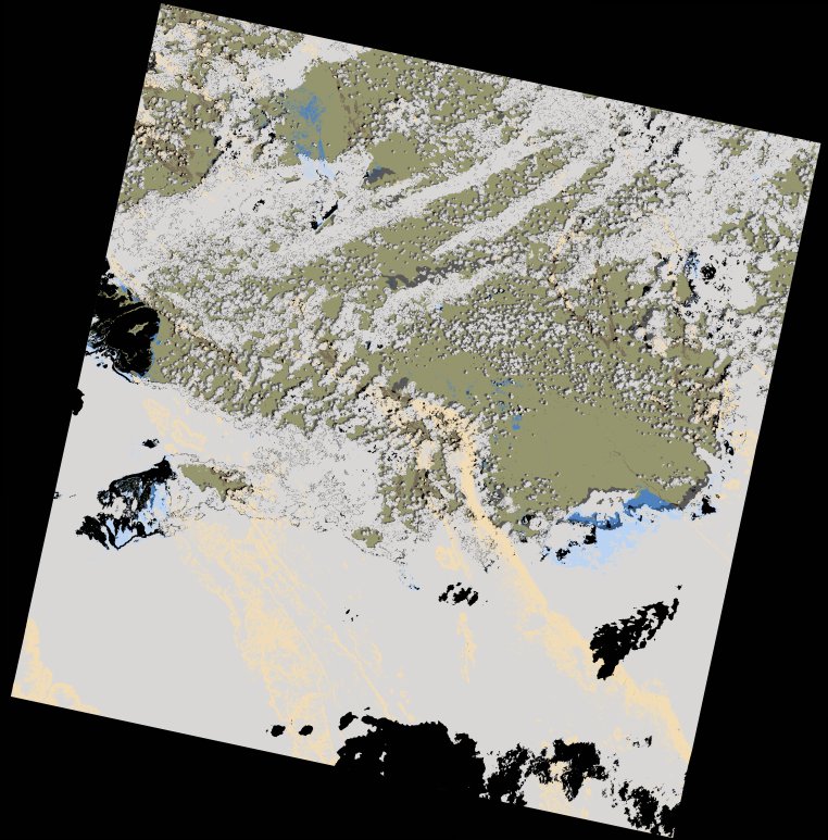
wofs_ls_171065_2022-01-21.stac-item
dataset of product wofs_ls
Indexed by odc_writer
,
created
Region
171065
for
21st January 2022
Fields 🔗
cloud_cover
65.72
collection_category
T1
creation_time
2023-04-30 22:42:01
crs_raw
•
data_coverage
•
dataset_version
1.0.0
eo_gsd
30.0
eo_sun_azimuth
116.137
eo_sun_elevation
57.672
format
GeoTIFF
id
099a0c21-e8ee-50ed-8700-b2946e741c44
instrument
OLI_TIRS
label
•
lat
-8.278 to -6.191
lon
30.201 to 32.227
platform
landsat-9
product_family
wofs
region
•
region_code
171065
rmse
8.274
rmse_x
5.768
rmse_y
5.933
sat_orbit_state
•
sat_relative_orbit
•
time
2022-01-21 08:03:35 to 2022-01-21 08:03:35
Related Datasets 🔗
wofs_ls_171065_2022-01-21.stac-item