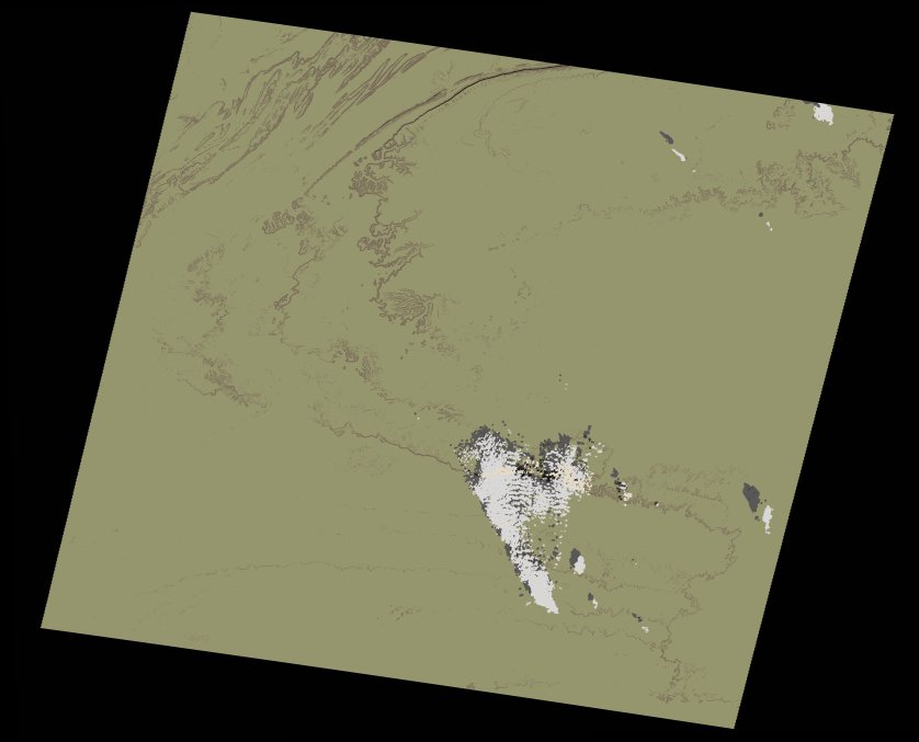
wofs_ls_203041_2002-10-29.stac-item
dataset of product wofs_ls
Indexed by odc_writer
,
created
Region
203041
for
29th October 2002
Fields 🔗
cloud_cover
1.0
collection_category
T1
creation_time
2021-09-01 02:21:30
crs_raw
•
data_coverage
•
dataset_version
1.0.0
eo_gsd
30.0
eo_sun_azimuth
150.077
eo_sun_elevation
44.031
format
GeoTIFF
id
097257a4-5b22-5582-abc9-43b4768ca8be
instrument
ETM
label
•
lat
26.478 to 28.375
lon
-11.645 to -9.389
platform
landsat-7
product_family
wofs
region
•
region_code
203041
rmse
3.643
rmse_x
2.279
rmse_y
2.842
sat_orbit_state
•
sat_relative_orbit
•
time
2002-10-29 10:59:17 to 2002-10-29 10:59:17
Related Datasets 🔗
wofs_ls_203041_2002-10-29.stac-item