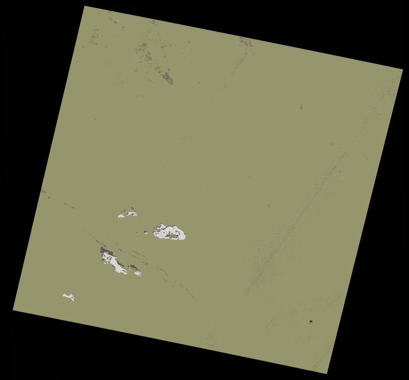
wofs_ls_203043_2022-01-05.stac-item
dataset of product wofs_ls
Indexed by odc_writer
,
created
Region
203043
for
5th January 2022
Fields 🔗
cloud_cover
0.34
collection_category
T1
creation_time
2023-05-02 21:02:10
crs_raw
•
data_coverage
•
dataset_version
1.0.0
eo_gsd
30.0
eo_sun_azimuth
151.342
eo_sun_elevation
37.231
format
GeoTIFF
id
091c7564-3ecf-5897-93eb-5cdb1ea9d88b
instrument
OLI_TIRS
label
•
lat
23.5 to 25.593
lon
-12.335 to -10.119
platform
landsat-9
product_family
wofs
region
•
region_code
203043
rmse
4.777
rmse_x
2.922
rmse_y
3.779
sat_orbit_state
•
sat_relative_orbit
•
time
2022-01-05 11:12:35 to 2022-01-05 11:12:35
Related Datasets 🔗
wofs_ls_203043_2022-01-05.stac-item