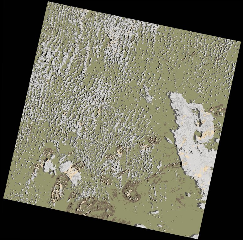
wofs_ls_166070_2024-11-23.stac-item
dataset of product wofs_ls
Indexed by odc_writer
,
created
Region
166070
for
23rd November 2024


Fields 🔗
cloud_cover
20.79
collection_category
T1
creation_time
2024-11-27 10:05:34
crs_raw
•
data_coverage
•
dataset_version
1.0.0
eo_gsd
30.0
eo_sun_azimuth
107.479
eo_sun_elevation
64.86
format
GeoTIFF
id
07937117-440d-5a52-bccd-ec46492bf383
instrument
OLI_TIRS
label
•
lat
-15.504 to -13.415
lon
36.28 to 38.363
platform
landsat-9
product_family
wofs
region
•
region_code
166070
rmse
8.664
rmse_x
5.973
rmse_y
6.275
sat_orbit_state
•
sat_relative_orbit
•
time
2024-11-23 07:34:39 to 2024-11-23 07:34:39
Related Datasets 🔗
wofs_ls_166070_2024-11-23.stac-item