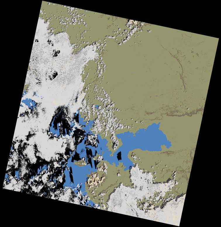
wofs_ls_170060_2022-01-30.stac-item
dataset of product wofs_ls
Indexed by odc_writer
,
created
Region
170060
for
30th January 2022
Fields 🔗
cloud_cover
31.17
collection_category
T1
creation_time
2023-04-30 02:01:04
crs_raw
•
data_coverage
•
dataset_version
1.0.0
eo_gsd
30.0
eo_sun_azimuth
122.324
eo_sun_elevation
55.487
format
GeoTIFF
id
05fd3834-93ef-5473-97ba-fe149bb5a4e6
instrument
OLI_TIRS
label
•
lat
-1.047 to 1.039
lon
33.29 to 35.295
platform
landsat-9
product_family
wofs
region
•
region_code
170060
rmse
6.081
rmse_x
4.214
rmse_y
4.385
sat_orbit_state
•
sat_relative_orbit
•
time
2022-01-30 07:55:25 to 2022-01-30 07:55:25
Related Datasets 🔗
wofs_ls_170060_2022-01-30.stac-item