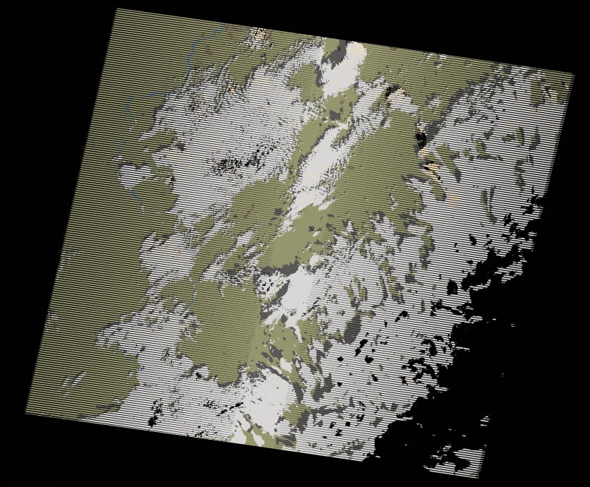
wofs_ls_175046_2012-10-20.stac-item
dataset of product wofs_ls
Indexed by odc_writer
,
created
Region
175046
for
20th October 2012
Fields 🔗
cloud_cover
44.0
collection_category
T1
creation_time
2021-09-01 03:18:14
crs_raw
•
data_coverage
•
dataset_version
1.0.0
eo_gsd
30.0
eo_sun_azimuth
144.041
eo_sun_elevation
52.88
format
GeoTIFF
id
059b8935-1c6a-5da7-9621-4b570beda2a1
instrument
ETM
label
•
lat
19.295 to 21.165
lon
29.912 to 32.099
platform
landsat-7
product_family
wofs
region
•
region_code
175046
rmse
4.006
rmse_x
2.711
rmse_y
2.949
sat_orbit_state
•
sat_relative_orbit
•
time
2012-10-20 08:16:15 to 2012-10-20 08:16:15
Related Datasets 🔗
wofs_ls_175046_2012-10-20.stac-item