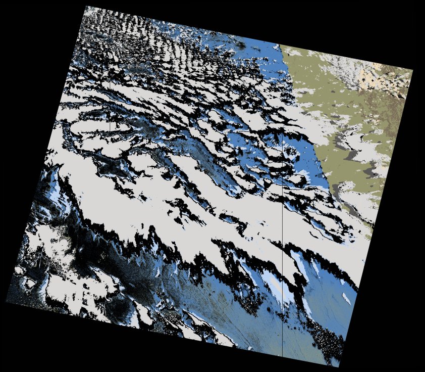
wofs_ls_177081_2021-12-30.stac-item
dataset of product wofs_ls
Indexed by odc_writer
,
created
Region
177081
for
30th December 2021
Fields 🔗
cloud_cover
52.49
collection_category
T1
creation_time
2023-05-03 11:03:38
crs_raw
•
data_coverage
•
dataset_version
1.0.0
eo_gsd
30.0
eo_sun_azimuth
83.839
eo_sun_elevation
60.4
format
GeoTIFF
id
052faf17-8564-5e49-a868-78f337a89770
instrument
OLI_TIRS
label
•
lat
-31.355 to -29.259
lon
15.393 to 17.759
platform
landsat-9
product_family
wofs
region
•
region_code
177081
rmse
7.602
rmse_x
4.093
rmse_y
6.406
sat_orbit_state
•
sat_relative_orbit
•
time
2021-12-30 08:47:04 to 2021-12-30 08:47:04
Related Datasets 🔗
wofs_ls_177081_2021-12-30.stac-item