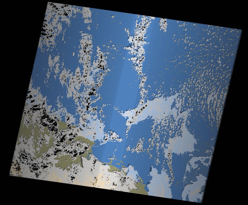
wofs_ls_170047_2012-12-20.stac-item
dataset of product wofs_ls
Indexed by odc_writer
,
created
Region
170047
for
20th December 2012
Fields 🔗
cloud_cover
31.0
collection_category
T1
creation_time
2021-09-01 02:07:06
crs_raw
•
data_coverage
•
dataset_version
1.0.0
eo_gsd
30.0
eo_sun_azimuth
149.453
eo_sun_elevation
41.473
format
GeoTIFF
id
0477847f-4430-5608-bafe-b06df458727e
instrument
ETM
label
•
lat
17.857 to 19.726
lon
37.311 to 39.48
platform
landsat-7
product_family
wofs
region
•
region_code
170047
rmse
4.971
rmse_x
3.664
rmse_y
3.359
sat_orbit_state
•
sat_relative_orbit
•
time
2012-12-20 07:46:05 to 2012-12-20 07:46:05
Related Datasets 🔗
wofs_ls_170047_2012-12-20.stac-item