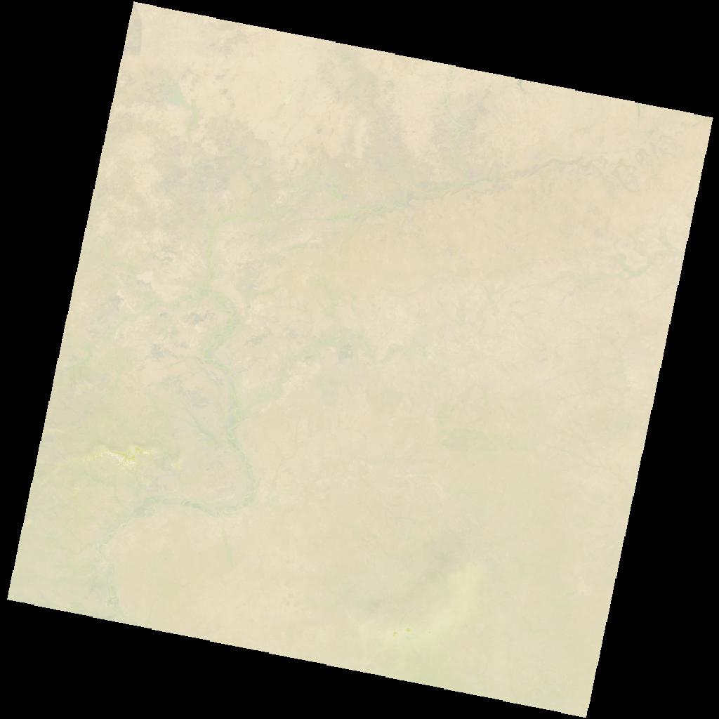
LC09_L2SP_194053_20211205_20230505_02_T1_SR_stac
dataset of product ls9_sr
Indexed by odc_writer
,
created
Region
194053
for
5th December 2021
Fields 🔗
cloud_cover
5.73
collection_category
T1
creation_time
2021-12-05 10:21:04
crs_raw
•
data_coverage
•
dataset_version
•
eo_gsd
•
eo_sun_azimuth
145.431
eo_sun_elevation
50.393
format
GeoTIFF
id
0234a20d-2a7f-5a89-9946-ac17139d0467
instrument
OLI_TIRS
label
•
lat
9.073 to 11.162
lon
-1.658 to 0.38
platform
LANDSAT_9
product_family
•
region
•
region_code
194053
rmse
7.206
rmse_x
5.47
rmse_y
4.691
sat_orbit_state
•
sat_relative_orbit
•
time
2021-12-05 10:21:04 to 2021-12-05 10:21:04
Related Datasets 🔗
LC09_L2SP_194053_20211205_20230505_02_T1_SR_stac