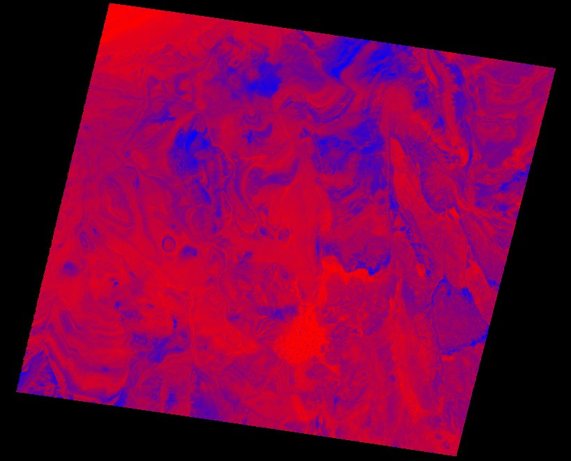
Fields 🔗
cloud_cover
0.0
collection_category
T1
creation_time
2022-01-20 16:02:27
crs_raw
•
data_coverage
•
dataset_version
1.1.0
eo_gsd
30.0
eo_sun_azimuth
137.666
eo_sun_elevation
47.006
format
GeoTIFF
id
022747e2-a0fb-5010-8836-58bbd6300595
instrument
TM
label
•
lat
25.087 to 26.954
lon
1.971 to 4.197
platform
landsat-5
product_family
fc
region
•
region_code
194042
rmse
10.958
rmse_x
6.981
rmse_y
8.447
sat_orbit_state
•
sat_relative_orbit
•
time
1987-10-13 09:43:43 to 1987-10-13 09:43:43
Related Datasets 🔗
Location 🔗
s3://deafrica-services/fc_ls/1-1-0/194/042/1987/10/13/fc_ls_194042_1987-10-13.stac-item.json
| bs | fc_ls_194042_1987-10-13_bs.tif |
|---|---|
| checksum:sha1 | fc_ls_194042_1987-10-13.sha1 |
| metadata:processor | fc_ls_194042_1987-10-13.proc-info.yaml |
| npv | fc_ls_194042_1987-10-13_npv.tif |
| pv | fc_ls_194042_1987-10-13_pv.tif |
| thumbnail | fc_ls_194042_1987-10-13_thumbnail.jpg |
| ue | fc_ls_194042_1987-10-13_ue.tif |