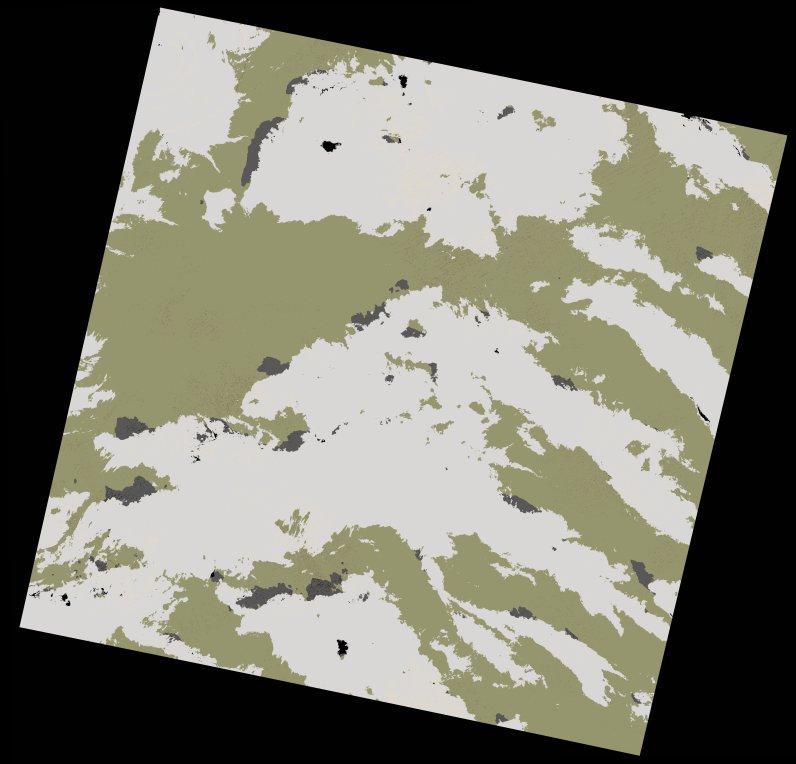
wofs_ls_202046_2022-10-13.stac-item
dataset of product wofs_ls
Indexed by odc_writer
,
created
Region
202046
for
13th October 2022
Fields 🔗
cloud_cover
18.69
collection_category
T2
creation_time
2022-10-15 16:39:16
crs_raw
•
data_coverage
•
dataset_version
1.0.0
eo_gsd
30.0
eo_sun_azimuth
142.53
eo_sun_elevation
55.512
format
GeoTIFF
id
01eac160-4c8b-5ecd-8cfa-1019ace78509
instrument
OLI_TIRS
label
•
lat
19.178 to 21.269
lon
-11.792 to -9.647
platform
landsat-9
product_family
wofs
region
•
region_code
202046
rmse
20.452
rmse_x
16.828
rmse_y
11.623
sat_orbit_state
•
sat_relative_orbit
•
time
2022-10-13 11:07:45 to 2022-10-13 11:07:45
Related Datasets 🔗
wofs_ls_202046_2022-10-13.stac-item