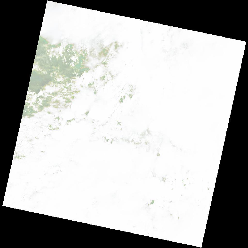
LC09_L2SP_178060_20211205_20230505_02_T2_SR_stac
dataset of product ls9_sr
Indexed by odc_writer
,
created
Region
178060
for
5th December 2021
Fields 🔗
cloud_cover
97.02
collection_category
T2
creation_time
2021-12-05 08:44:59
crs_raw
•
data_coverage
•
dataset_version
•
eo_gsd
•
eo_sun_azimuth
134.845
eo_sun_elevation
57.274
format
GeoTIFF
id
01da40f9-0e01-5b72-8209-b39a47fec89b
instrument
OLI_TIRS
label
•
lat
-1.047 to 1.04
lon
20.912 to 22.918
platform
LANDSAT_9
product_family
•
region
•
region_code
178060
rmse
nan
rmse_x
nan
rmse_y
nan
sat_orbit_state
•
sat_relative_orbit
•
time
2021-12-05 08:44:59 to 2021-12-05 08:44:59
Related Datasets 🔗
LC09_L2SP_178060_20211205_20230505_02_T2_SR_stac