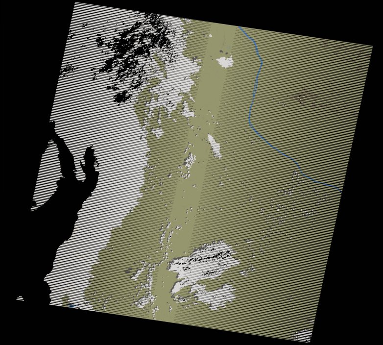
wofs_ls_175063_2005-12-20.stac-item
dataset of product wofs_ls
Indexed by odc_writer
,
created
Region
175063
for
20th December 2005
Fields 🔗
cloud_cover
32.0
collection_category
T1
creation_time
2021-09-01 04:59:24
crs_raw
•
data_coverage
•
dataset_version
1.0.0
eo_gsd
30.0
eo_sun_azimuth
126.578
eo_sun_elevation
55.633
format
GeoTIFF
id
018f62a3-c916-57bf-bd34-9b918923f745
instrument
ETM
label
•
lat
-5.276 to -3.39
lon
24.656 to 26.656
platform
landsat-7
product_family
wofs
region
•
region_code
175063
rmse
5.977
rmse_x
3.582
rmse_y
4.785
sat_orbit_state
•
sat_relative_orbit
•
time
2005-12-20 08:16:51 to 2005-12-20 08:16:51
Related Datasets 🔗
wofs_ls_175063_2005-12-20.stac-item